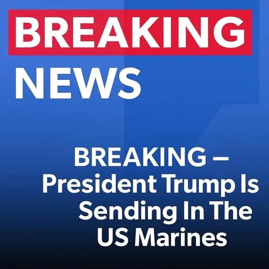
WASHINGTON, D.C. — The United States military has officially confirmed the deployment of 200 U.S. Marines to Florida, where they will provide logistical and administrative support to Immigration and Customs Enforcement (ICE). This decision has quickly become a flashpoint in national discussions, drawing a range of reactions from lawmakers, civil rights organizations, and the general public. According to an official statement from the Department of Defense, the Marines are not being sent to enforce immigration laws or conduct arrests.
Instead, their role is strictly supportive in nature. They will be responsible for assisting with infrastructure management, communications systems, transportation logistics, and supply coordination within ICE detention centers and field offices. Officials were quick to emphasize that no Marines will be involved in direct immigration enforcement, and that the deployment falls within the boundaries of lawful military support to civilian agencies.
This move is part of a broader federal strategy aimed at strengthening ICE’s capacity in areas experiencing high volumes of migrant arrivals, particularly in Florida, Louisiana, and Texas. These states have seen increased pressure on immigration facilities, many of which are operating at or near full capacity due to the recent surges in migration.
While both the Pentagon and the Department of Homeland Security (DHS) have framed this action as temporary and administrative, it has sparked renewed concerns over the possible militarization of immigration policy. Critics argue that the presence of uniformed military personnel—even in non-enforcement roles—could have chilling effects on immigrant communities and contribute to a climate of fear and intimidation. Civil liberties advocates and some members of Congress have called for greater transparency and oversight, raising questions about the long-term implications of involving the military in domestic immigration operations.
On the other hand, supporters of the deployment point to the operational strain faced by ICE personnel. They argue that military logistical assistance can help relieve overburdened staff, enhance the efficiency of support services, and ensure that facilities continue to function effectively without needing to expand enforcement activities.
As the Marines begin their assigned tasks this week, both the Department of Defense and the DHS have reiterated their commitment to maintaining strict oversight of the mission. Officials have assured the public that the deployment will remain limited in scope, with all activities remaining fully compliant with U.S. laws and constitutional boundaries separating military and civilian roles.
This development highlights the ongoing tension between national security policies and civil liberties, particularly in the context of immigration. With public scrutiny intensifying, the government’s handling of this operation may set an important precedent for how military resources are used in domestic administrative support roles moving forward.